


4.5 km | 7 km-effort


Tous les sentiers balisés d’Europe PRO


FREE GPS app for hiking
 SityTrail
IGN / Geographical institutes
SityTrail World
The world is yours!
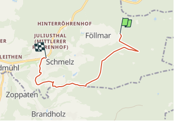
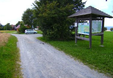
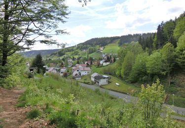
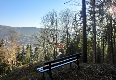
Trail On foot of 4.9 km to be discovered at Bavaria, Landkreis Bayreuth, Bad Berneck im Fichtelgebirge. This trail is proposed by SityTrail - itinéraires balisés pédestres.
Trail created by Fichtelgebirgsverein Bad Berneck.
Symbol: grüner Tannenbaum

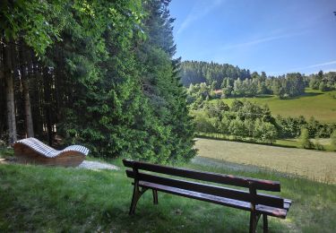
On foot
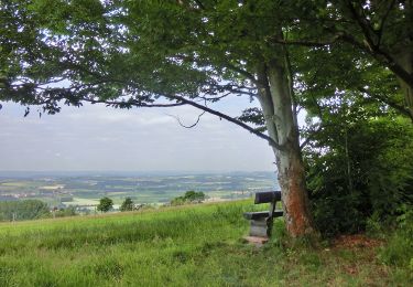
On foot

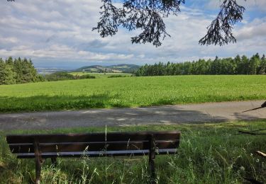
On foot
On foot
On foot
On foot
On foot
On foot
On foot